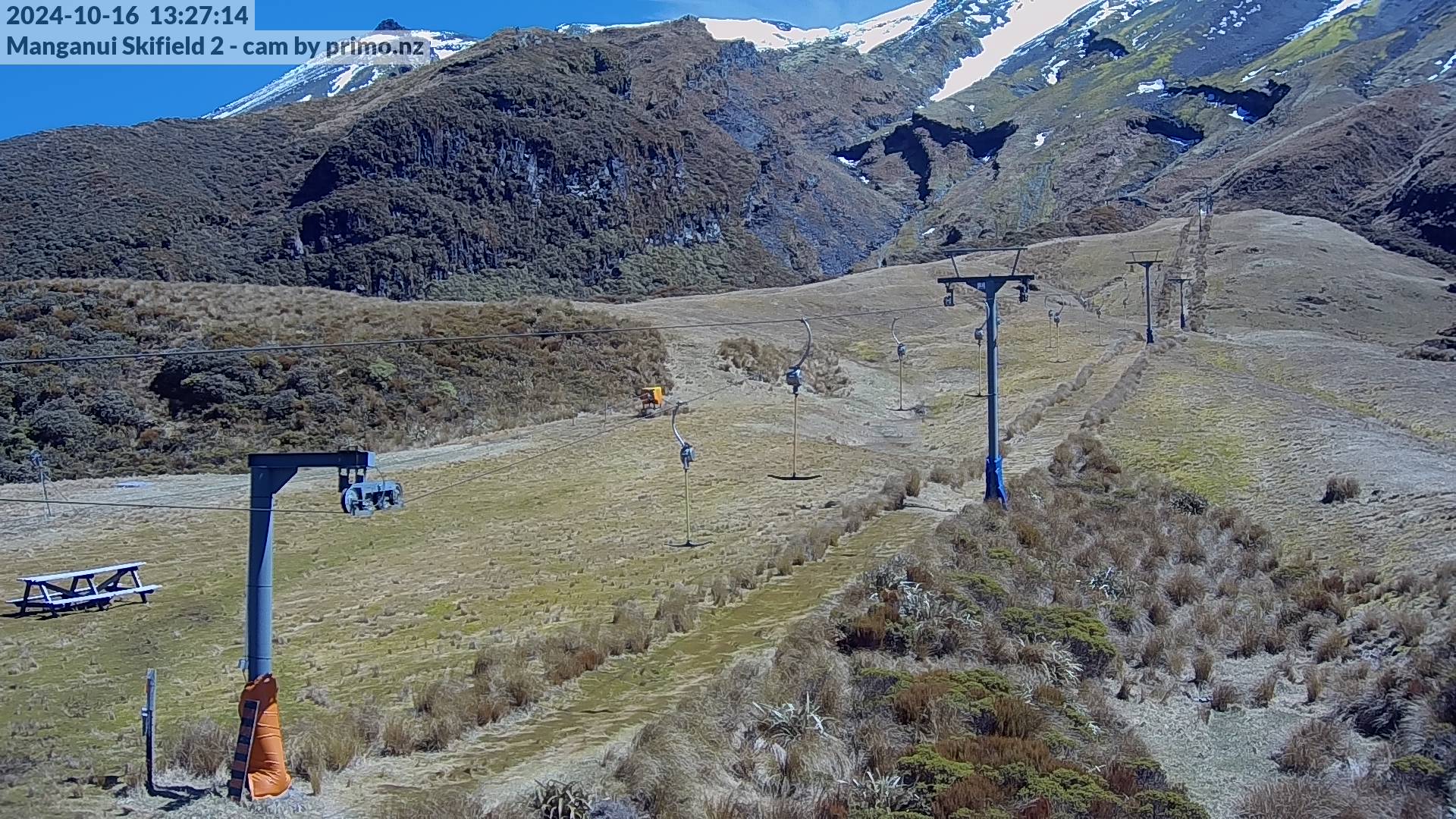
Where are we?
kei hea tātou?
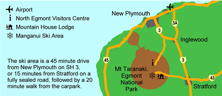
Planning to drive?
Use the Google Map below for Manganui Ski Area's location, directions and surrounding terrain.
| CITY DRIVING DISTANCES TO CAR PARK | TIME | DISTANCE |
|---|---|---|
| Stratford Township | 25min | 18km |
| New Plymouth | 55min | 56km |
| Hawera Township | 51min | 47km |
| Ohakune Township | 3h 8min | 236km |
| Wellington | 4h 34min | 332km |
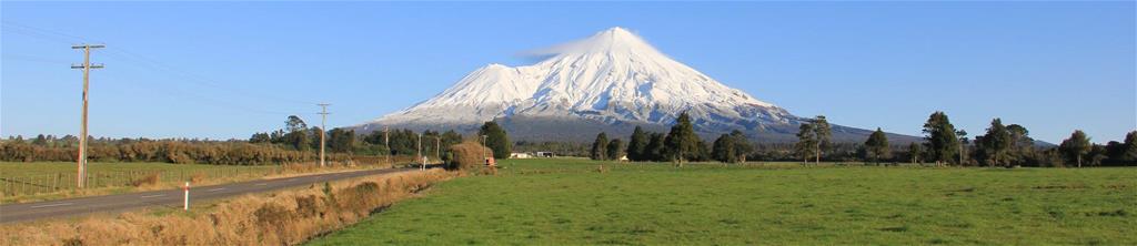
Getting to Manganui from New Plymouth
Head south, out of New Plymouth along state highway 3 (towards Hawera). Travel for 38 km until you reach Stratford 50km/hr area, and see the sign for East Egmont/The Plateau. Turn right onto Pembroke Road and head towards the mountain. The sealed access road travels to the National Park boundary
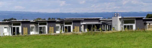
You'll pass the Platinum Lodge after a 5km drive through beautiful farmland. Anderson's Alpine Lodge will be on the right before the Egmont National Park Boundary gates.
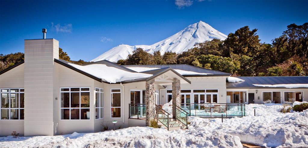
Continue driving through Egmont National Parks' native forest and you'll see the Ngati Ruanui Stratford Mountain House (Cafe, Restaurant & Accommodation) on the left. Then continue 3km up to The Plateau where the top car park is located.
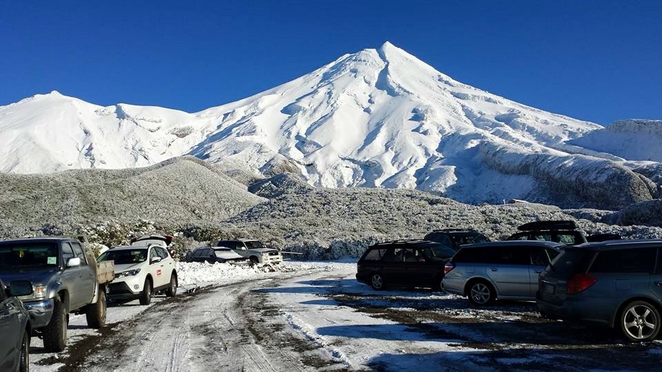
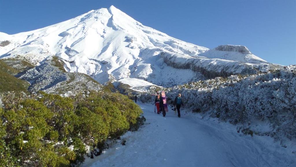
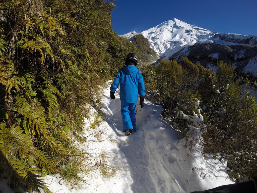
From the Plateau car park it is a 25-30 minute scenic walk to the ski
area, with a goods lift 10-15 minutes along the way. A good time to take in the scenery!
Travel and Accommodation Links
Travel Diary
After skiing at Manganui, you may want to check out the SH43 'Heritage' Highway. This threads through pristine sub-tropical rain forests and unspoilt scenery, just as they were thousands of years in the past - including the beech ridge-tops of Whangamomona Saddle and the awesome Tangarakau Gorge.